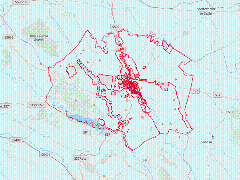
- Thumbnail

- Resource ID
- d996e040-dc44-11e7-8580-a0d3c13eef1f
- Title
- Limiti degli interventi
- Date
- Dec. 8, 2017, 7:23 p.m., Publication
- Abstract
- Strumentazione urbanistica vigente
- Edition
- Ottobre 2017
- Owner
- admin
- Point of Contact
- info@paesit.eu
- Purpose
- Rilascio certificato di destinazione urbanistica
- Maintenance Frequency
- continual
- Type
- not filled
- Restrictions
- None
- License
- Open Data Commons Open Database License / OSM
- Language
- ita
- Temporal Extent
- Start
- --
- End
- --
- Supplemental Information
- Nessuna informazione fornita
- Data Quality
- --
- Extent
-
- long min: 16.4094572145
- long max: 16.7317444302
- lat min: 40.5635347739
- lat max: 40.7659334676
- Spatial Reference System Identifier
- EPSG:4326
- Keywords
- no keywords
- Category
- Planning Cadastre
